Walking the Wyre Way from Garstang to St Michael’s
Part four: adolescence
Adolescence is not always the most attractive stage of development. The human form goes through problematic changes, and the visible symptoms are sometimes not very pretty. Socially, the aging youth can choose to linger in less than savoury locations and present as belligerent and awkward. So it is with the river Wyre and the Wyre Way walk.
In part three we witnessed the river growing up. In part four it becomes a bit grumpy and somewhat sullen. The Wyre Way footpath is uncommunicative, untidy and belligerent.
There are some pleasant phases, but the river is absent for long stretches and not at its prettiest when present. The final couple of miles are the most testing. You could end at Churchtown, because that will cut out the most awkward parts of the footpath. That would reduce the walk to approximately 3 miles in length.
The walk
Length: 5 miles (8 km)
Time required: 3 hours.
Difficulty: easy to begin with, BUT there are places where the path is unmarked and apparently obstructed and later sections where it is heavily overgrown, sometimes to the extent of being impassible. Some very muddy areas. This route is not suitable for mobility scooters or wheelchairs and, in places, impenetrable by those on foot. You’ll need to divert. I’ll explain where and how.
Start: Garstang High Street Car Park. PR3 1WZ.
Facilities: Toilets at the car park and several cafes and pubs etc in the village.
Finish: St. Micheal’s on Wyre Village Hall.
Facilities: Car parking at owner’s risk. No other facilities.
You can make this a circular trip by catching the Stagecoach No 42 Bus from Blackpool to Lancaster, which stops opposite St. Micheal’s on Wyre Village Hall and in the centre of Garstang. (This bus also stops in Churchtown if you wished to start and finish there.)
You will need
- A map. Ordnance Survey OS Explorer 296 is the best.
- Appropriate footwear (walking boots ). This route is VERY MUDDY underfoot in places.
- Appropriate clothing. Including waterproofs.
- Something to drink and snack on is always a good idea.
The route
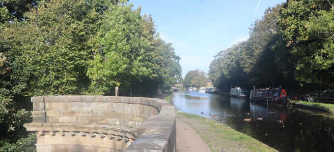
Leave the car park at the opposite end to the road and follow the path westwards alongside the river. This section is very easy to follow.
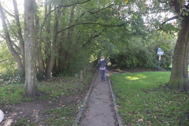
The path ultimately leads you to Coach House Mews and Bridge Street. The Wyre Way is not marked, and this is a place where you can lose track of it. Turn left onto Bridge Street and stay on it until you have crossed the bridge. The path leaves the road on your right and goes through the grounds of the Cornmill Care home. There are no signs indicating this.
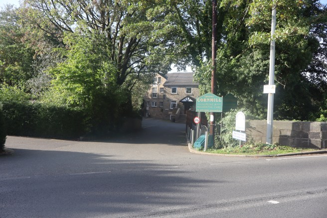
Go towards the main entrance veering slightly left to pass between two buildings to access the car park at the rear. Continue through the car park in the same direction and you will find a very definite path at the far end.
Follow this path with the river on your right and walk under the impressive aqueduct which carries the Lancaster Canal across the river. There is a steep staircase on your left on the far side which you climb. Turn left onto the canal towpath and cross the aqueduct.
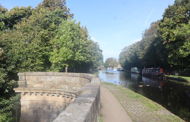
Continue for about another twenty-five yards looking for a footpath sign and an overgrown gap on your left. It is directly opposite the widening of the canal to form the bay in front of the Tithebarn pub. Follow that path with new housing on your right and the river away to your left until you reach the A6 road. Cross the road and walk south until you reach Cross House farm. It is aptly named. It houses a very cross hound.
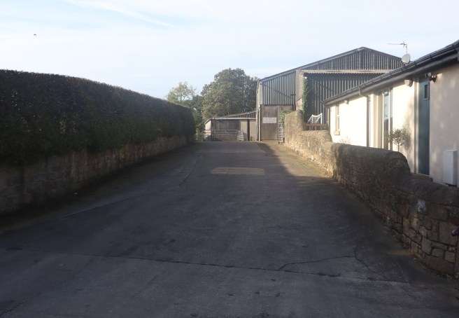
The footpath, as indicated by the finger post across the road, goes directly down the main drive of this farm. There were no guidance signs in the farm, and two successive gates were chained shut. They were not locked, but we had to unclip the chains whilst being loudly harangued by a full-grown Rottweiler. It was robustly caged, but unsettling, nevertheless. We almost turned back. Should you go that way, pass through any gates and head for the footpath sign that you can see ahead and turn left where it indicates.
This track will lead you close to the cheese farm with its locally iconic wind turbine. When this track reaches the end of the field you go through the gate and directly across the next field towards Kirkland Hall.
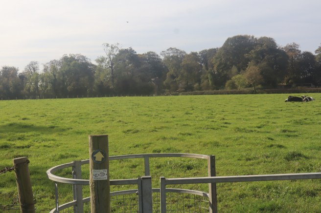
Just before you reach the hall you will encounter your next obstacle. You need to pass through two kissing gates, the second away to the right. The mud and slurry here was ankle deep, so make sure you have adequate footwear.
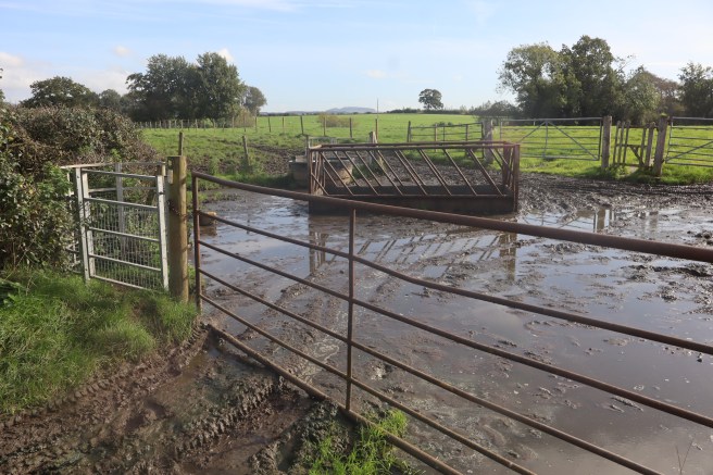
Follow the track from the gate to pass in front of Kirkland Hall Farm. The path here is good. At the end of the rake of barns turn left to follow the track to the A586 road. This is a pleasant part of the walk. Cross the A586 and walk thirty yards left to turn diagonally right down Ainspool Lane. Follow this road into the cheerful village of Churchtown, keeping right at the pillar where the road becomes Church Lane. Skirt the church to exit via the new section of the graveyard at an old gate.
Do not cross the impressive bridge. Your route is to the right. It always stays on the northern bank of the river.
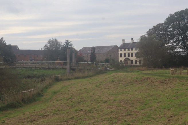
Follow this path past the water treatment plant and Hamilton House Farm.
Unfortunately, from here on, there are several stretches of the path that have become heavily overgrown with native briars and invasive Himalayan balsam. Sometimes this was so severe that we had to abandon the permitted path and improvise our way along field boundaries.
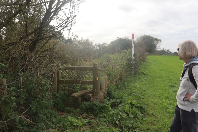
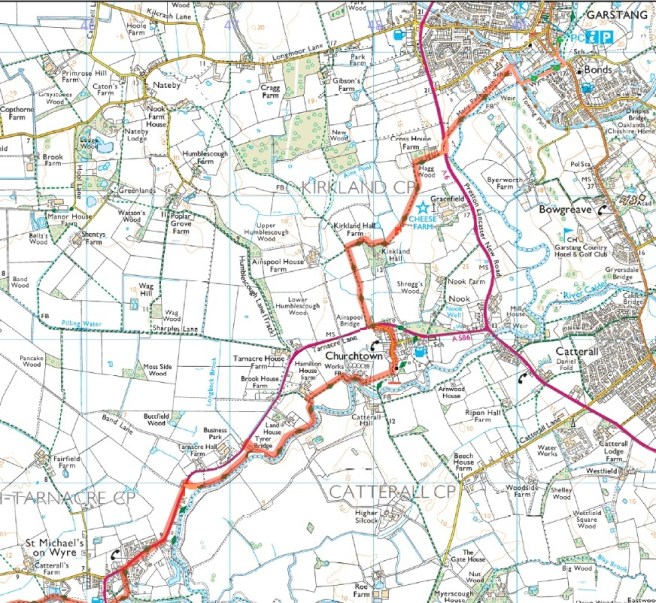
We eventually took to the A586 about half a mile east of St Michaels, but my advice would be to abandon the Wyre Way at Hamilton House Farm, which is the first property after the water treatment plant (see map) climbing a stile on your right and taking the short footpath to the road there, even though this will result in a walk of just over a mile along the road.
You can regain a short section of the Wyre Way in the village of St. Michaels by turning down Allotment Lane, but we were so dispirited by then that we simply plodded along the road until we reached the village hall car park.
This was, without doubt, our least favourite section of the Wyre Way so far, but as long as you can gird your loins against the caged hound at Cross House Farm, and clad your ankles against the quagmire at Kirkland Hall, the countryside between Garstang and Churchtown is pleasant enough, so perhaps terminate your walk at the church of St Helen. You will see little of the Wyre, though that’s not necessarily a bad thing when interacting with an adolescent.


