Walking the Wyre Way from Abbeystead to Dolphinholme
The Wyre Way
The River Wyre is twenty-eight miles long. The Wyre Way is a long-distance path which accompanies the river. In total it is some forty-five miles long as it includes alternative routes. Several guides are available but all the ones we found followed the river from estuary to source, whereas Marion and I have decided to follow it downhill.
For slightly more background and to discover the origins of this river see part one: Unravelling the Wyre
Part two: infancy
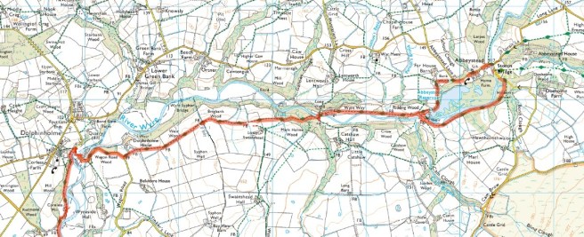
Length: 4 miles (6.4 km)

Time required: 2 hours.

Difficulty: generally easy.  No significant climbs, some muddy areas, several gates and stiles. This route is not suitable for mobility scooters or wheelchairs.

Start: Stoops Bridge Car Park. LA2 9BQ.  Facilities: none.

Finish: Dolphinholme Bridge.  Facilities: none.

Stoops Bridge Car Park is a layby at the end of Doeholm Rake where it forms a T junction with Strait Lane (the road through Abbeystead) near the bridge. There is room for about a dozen cars. It can get busy at peak times. There is no charge for parking.
Your choice
There are two ways to cover the first mile.
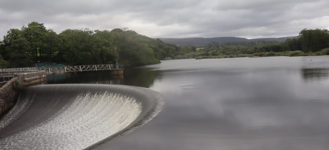
The northern route is straightforward, mostly solid underfoot on roads and some vehicle tracks. It gives a spectacular view of the weir.
The southern route is simple to follow but a little more awkward to traverse as it is a narrow track through woodland. It is frequently muddy and undulates somewhat but provides the charm of the forest and has several sections alongside the river. Good views of the reservoir will appear eventually and the outlet from the dam can be observed at close quarters.
(You can combine the two to provide a two-mile circular walk around the reservoir.)
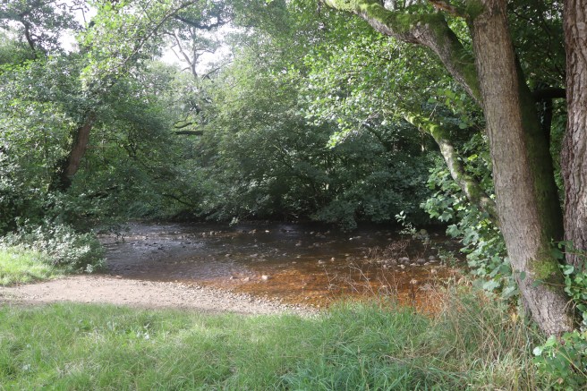
Regardless of which route you select, spend a few moments before leaving to look at the river. This is the last view you will get of the Tarnbrook Wyre which merges with the Marshaw Wyre about a hundred yards downstream. Unfortunately, the confluence is hidden from you which ever way you choose to go.
To follow the northern route to Abbeystead weir
Turn left out of the car park onto Strait Lane and follow the road right through the village and out on the western side heading towards Dolphinholme. There is a short climb as you leave the village bounded by a steel crash barrier on your left. When that barrier ends, look for the stile on your left on the crest of the climb. Go over that stile and head directly across the field towards the farm buildings.
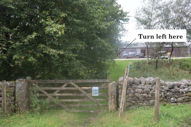
Enter the farm area though the gate, then turn left and follow the track across a cattle grid and through an unmarked gate until you reach the water authority buildings and the views of the weir.
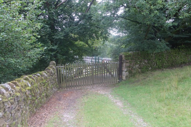
Keep to your left and enter the wooded area preserving your view of the weir through the trees. You eventually come to a wall where you meet the southern route above a footbridge. Turn right and exit the wood, then turn left towards the water authority valve house.
To follow the southern route to Abbeystead weir
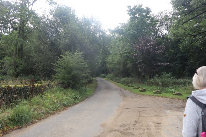
Leave the car park by walking south (away from the main road) along Doeholm Rake. Ignore the footpath signs on your left and stay on the track until it crosses a bridge over the Marshaw Wyre.
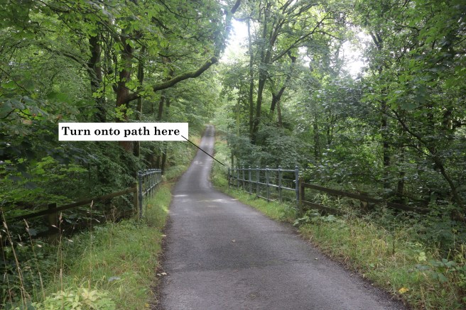
Follow the footpath sign on your right at the far end of the bridge.
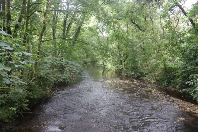
This puts you on a winding higgledy-piggledy path which you follow for almost a mile. When you next see the river, it is your first glance of the Wyre itself, as you will be downstream of the union of its two tributaries. We found the ground to be frequently very squelchy, and although we had had recent rain, this was the first day of meteorological autumn after a long, hot and very dry summer, so be warned. Walking sticks were very reassuring. You will encounter several simple footbridges, some steps and places where flagstones or lengths of timber have been laid to assist your passage.
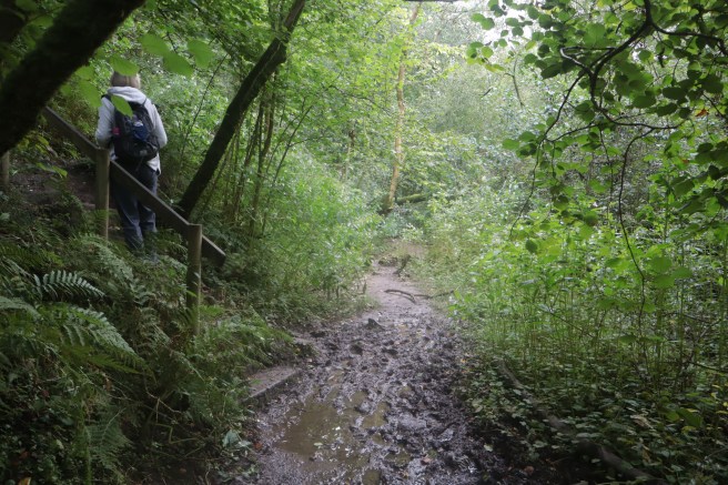
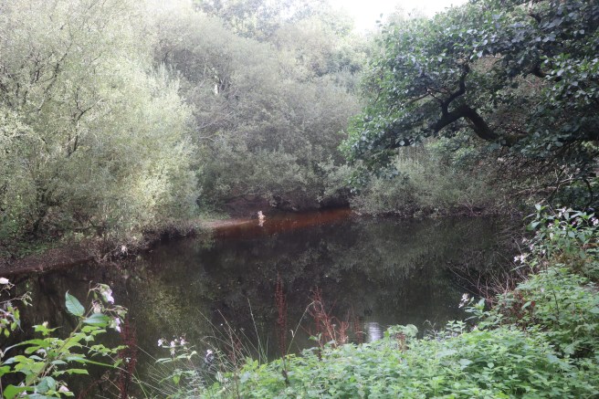
Keep following the track until the river broadens first into Arthurian pools, and then to meet the impressive Abbeystead reservoir.
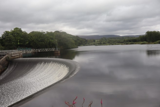
Just beyond the weir cross a footbridge to join the end of the northern route. Go straight ahead to exit the wood, then turn left towards the water authority valve house.
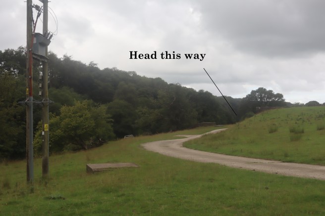
Your way is now directly westwards. Walk along the track past the valve house.
Note the memorial plaque to those who died in the disaster of 23rd May 1984. Sixteen people lost their lives when a build-up of natural methane caused an explosion while forty-four visitors were attending a public presentation.
When the track bends away you continue straight across the pasture in front of you. Keep the river about fifty yards to your left. Eventually you are excluded from the bank by a fence and the river then curls away from you before bending back to meet you again as the field boundary by Long Wood on your right starts to funnel you towards the water. You may notice the remains of a long footbridge now spanning nothing, and shortly after that you will discover a bridge in situ over the Wyre near Long Wood, which you should cross.
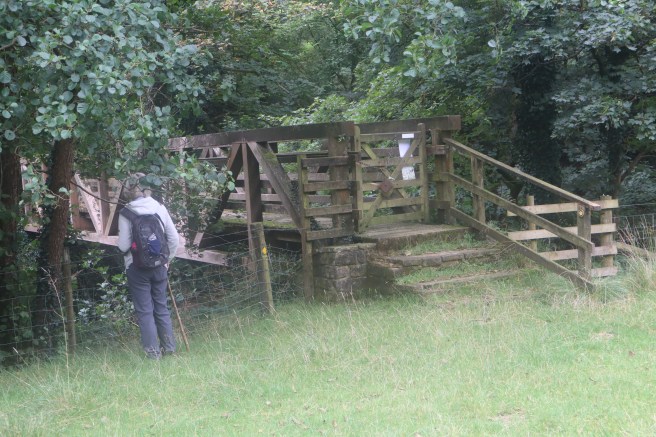
You will now have walked two miles. Take a good look at the Wyre, for if the woodland is in full leaf, you will not see it again until you get to Dolphinholme. You will be shadowing it, however, with the river always to your right and your general direction westwards – following the Wyre downstream.
After crossing the footbridge climb the short rise on the south bank to a multiple way marker. Take the right-hand path in the same direction as the river flow. Stay on this path through a very pleasant and potentially muddy track. When you emerge from the woods you will see Lower Swainshead Farm in front of you. Keep that away to the left. Your path is directly westwards over the slight brow and across the middle of the field. Head for a gate at the foot of a pair of large trees.
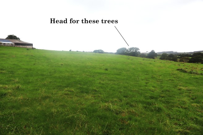
Go through over the stile or through the gate. (The stile was not in good order when we walked this route.) Head for the barn in front of you. As is so often the case with ancient ways, your path is defined by a line of broken trees. Pass to the left of the barn then curve round it slightly to leave the field via a kissing gate. Your route continues in the same direction with intermittent trees and some footpath way markers showing you the way. Eventually your path joins a definite farm track.
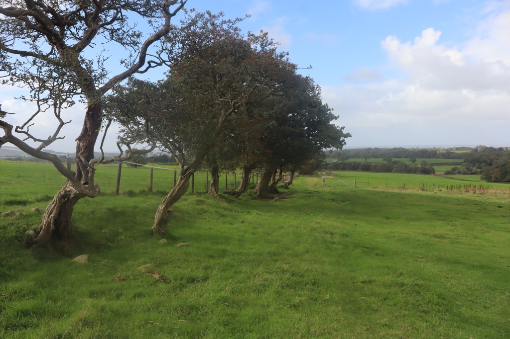
Stay on the main track ignoring all side spurs, until it ends at Wagon Road where you turn right and follow the road to reunite with the Wyre at Dolphinholme Bridge.
This is designed as a linear walk. Unfortunately, the two ends are not served by regular public transport. To return to your start point you can retrace your steps making this walk 8 miles (12.8km). Alternatively, you can follow the road from Dolphinholme to Abbeystead which is more or less the same distance.
It is possible to cover this stretch of the Wyre Way in two ‘boomerang’ walks of four miles by walking back and forth to the bridge near Long Wood from Abbeystead and Dolphinholme.


