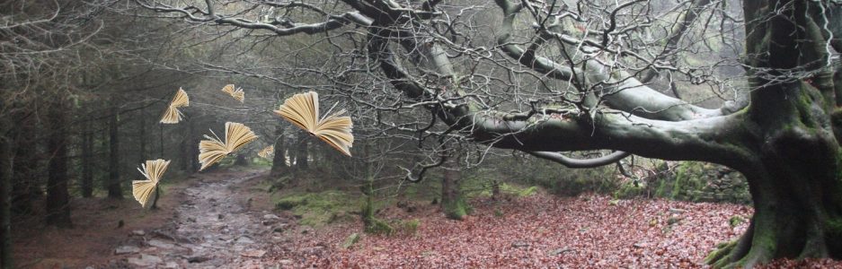

. . .and one way to prevent it
Parlick Pike dominates the landscape north of Chipping in Lancashire. It does so for two reasons. Firstly, because it protrudes south from the bulk of the Bleasdale fells, and secondly, as a consequence of its distinctive profile. It is that peculiar form that, according to tradition, gave rise to its name. ‘Parlick’, it seems, is a derivation of pear-like, or pear tree fold or similar.
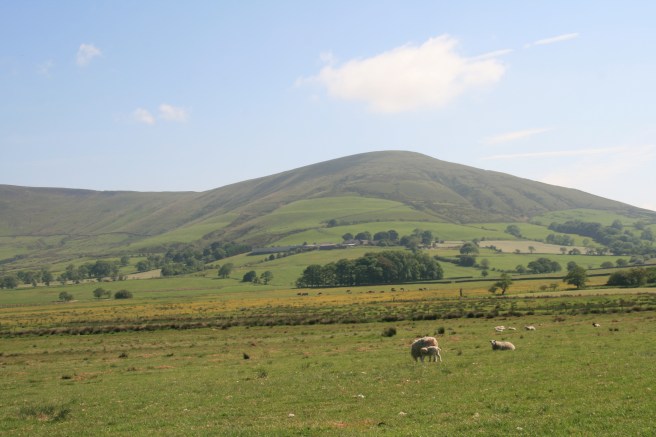 It does strongly resemble a partially submerged or flattened pear and this confident geographical guardian dominates the locality with a calm, blunt, rigidity. It proudly proclaims the front line of the Bowland fells, but also simultaneously welcomes walkers, wildlife lovers and airborne thrill-seekers.
At 1417 feet or 432 metres it is not especially high, but its summit offers spectacular views across a three-hundred-degree panorama. It is reasonably easy to access and can be climbed by anyone in good health and with a basic level of fitness. It’s also a good beginner hill for children. To them it will seem like a mountain, and while there is no universally agreed classification, it is high enough to be accorded that rank if the 1000 feet benchmark is used. Regardless of its official status, it has a distinct character – blatantly assured and quietly mysterious. It knows things, but it is too disciplined to tell. There’s a smug security in this hill.
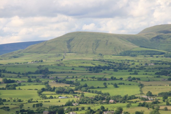
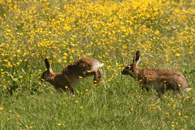
There’s a benevolence too. Apart from the views – as far as the Fylde coast and the Lake District to the west and north, Winter Hill and Pendle to the south and east, and the conurbations of Preston, Longridge, Clitheroe, Chipping and many more – it is also rich in wildlife. Watch out for kestrels, curlews, and lapwings, as well as many species of smaller birds. If you are lucky you might catch a glimpse of brown hares in the fields at Fell Foot.
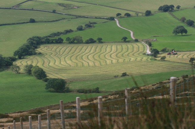
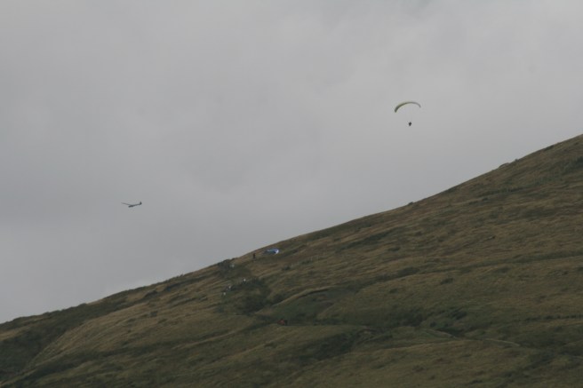
Parlick has a presence, and generosity. It welcomes you to its pedestal and urges you to share the glory of all that it surveys. You can watch the farmers working their fields, or peer out to rippled horizons and dream of times to come, or centuries gone. At weekends and on certain weekdays you may be surprised by different species of glider – traditional enclosed and dangling hang.
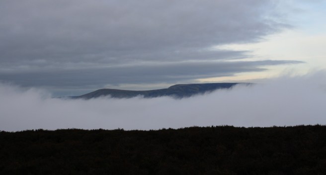
 Sometimes the clouds are low enough to be touched, and if you get there early on autumnal mornings they may even obliterate the valley below.
 Whenever you go you’ll need sensible footwear (boots or proper walking shoes) and wise clothing for the weather, but even taking things easily it is possible to climb and descend in an hour or so. Once on the summit you have the option of following a very clear route to the slightly higher ‘king’ of this array: Fairsnape Fell. If you are going that far, be sure you’ve got some basic provisions such as drinking water, and waterproofs.
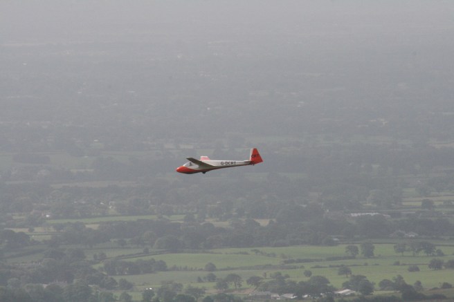 There is a very small amount of parking space at the junction close to the private road to Wolfen Hall, and a tiny bit more at Fell Foot itself. If you are happy to embark on a fuller excursion, it is possible to begin your walk from Chipping village, where there is a car park, public toilets, a pub or two and a sweet shop.
Most people launch themselves straight up the fell face from the gate at Fell Foot, but this is the most arduous route. You can divert off on the paths that circle the fell as well as ascending it. This will take you longer to get to the top, but it’s not as demanding. However, if you go the direct way, just take your time and slot in as many breaks as you need. Parlick is one of those infuriating climbs that fools you with three or four false summits so be prepared for some initial disappointment, but eventually you’ll ascend to the lofty uplands where you can transfer a small rock from the foot of the summit cairn to its top. Then enjoy the height you have attained.
Descending tests the knees if you go straight down the south slope, but if you drop into the northern col that links Parlick and Fairsnape you can easily pick up the eastwards circumference path that will circle around to the south and bring you down the upper slope more gradually.
The walk from Fell Foot to the summit is less than a mile horizontally, but is a steep climb. Meandering your way up will extend that distance.
The summit is about two and a half miles from the car park in Chipping town.
The shelter on the summit of Fairsnape Fell is about another two miles of mostly easy walking from the top of Parlick.
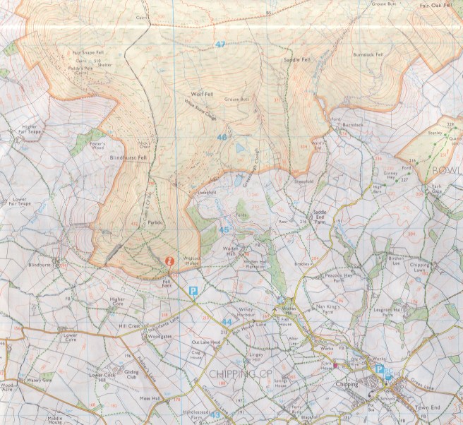
The ordnance survey grid reference is SD599453. A good map to use is OS Landranger 102. Even better is OS Explorer OL41.
Sat Nav: PR3 2WP will get you close to, but not precisely at, the small parking space at the foot of the fell.
~
Influenced
The area around Parlick influenced much scribbling including The View from Jeffrey as published in the Lancashire Post and in The Atheist’s Prayer Book .

One thought on “Going Pear-Shaped”